
Cart
Your cart is empty.
Click here to purchase!



Hamarosan




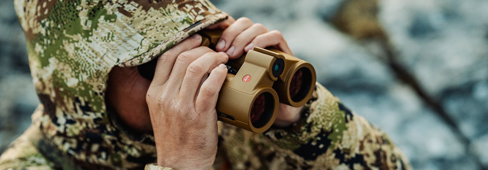
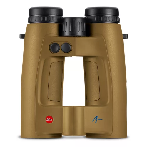
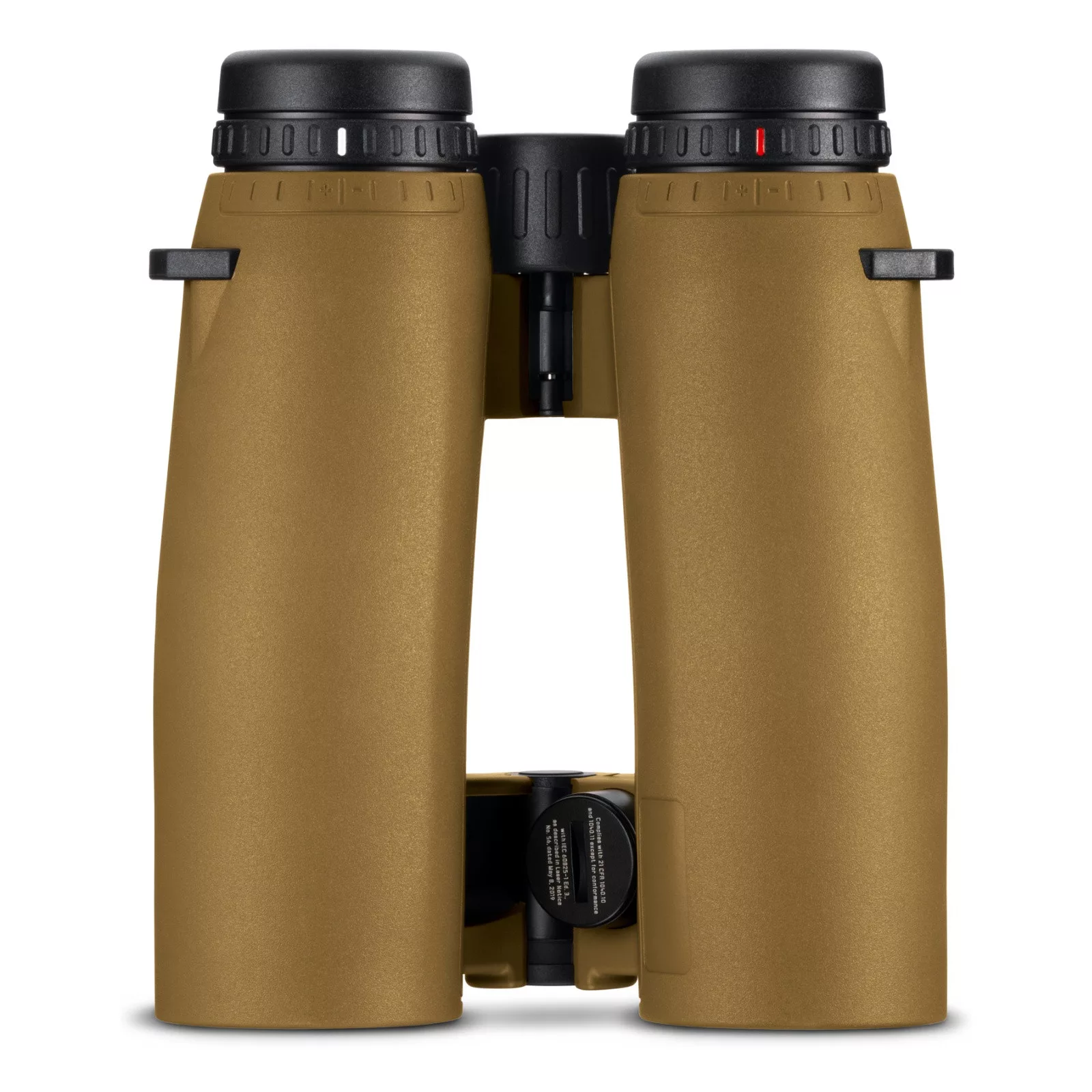
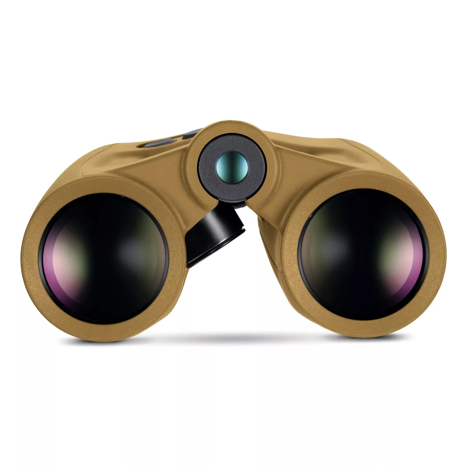
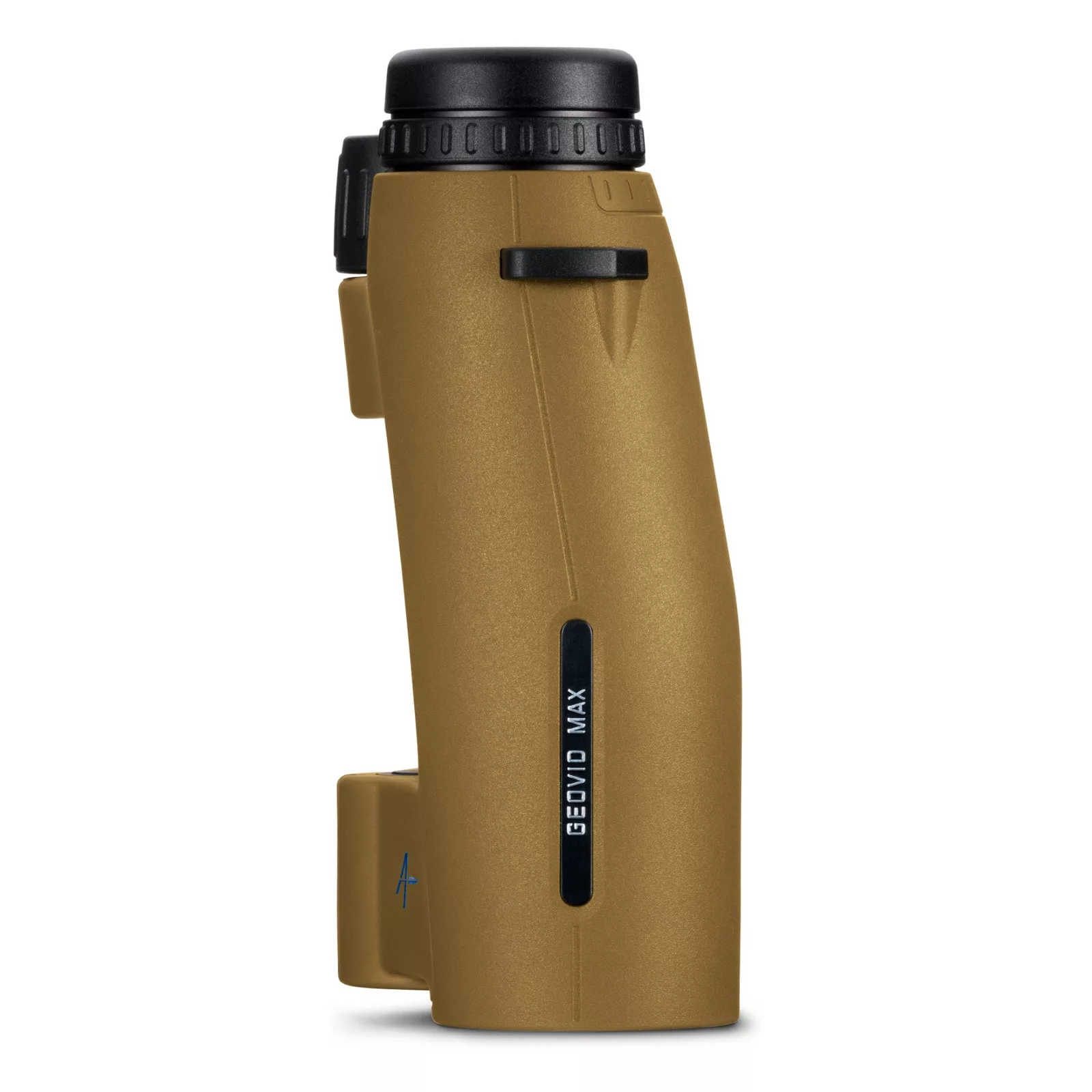
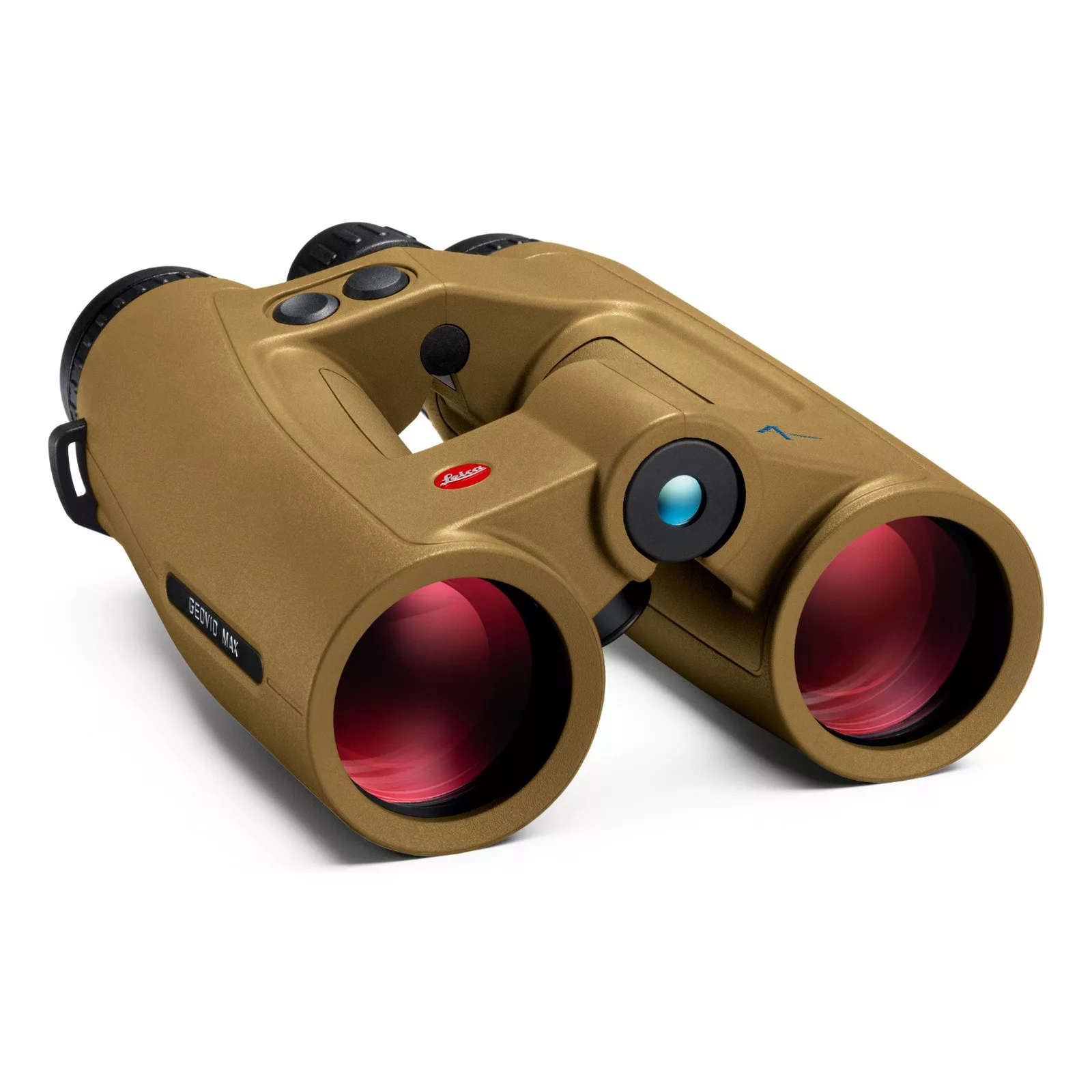
The Leica Geovid Max 10x42 provides clarity at a distance. Its extremely fast and highly precise laser rangefinding ranges trees up to 4,200 metres and highly reflective targets beyond 6,600 metres – up to 2,900 metres, the result is available in just 0.3 seconds. Brilliant high-performance optics, Applied Ballistics Professional® and precise terrain navigation provide the basis for reliable target identification and informed decisions.
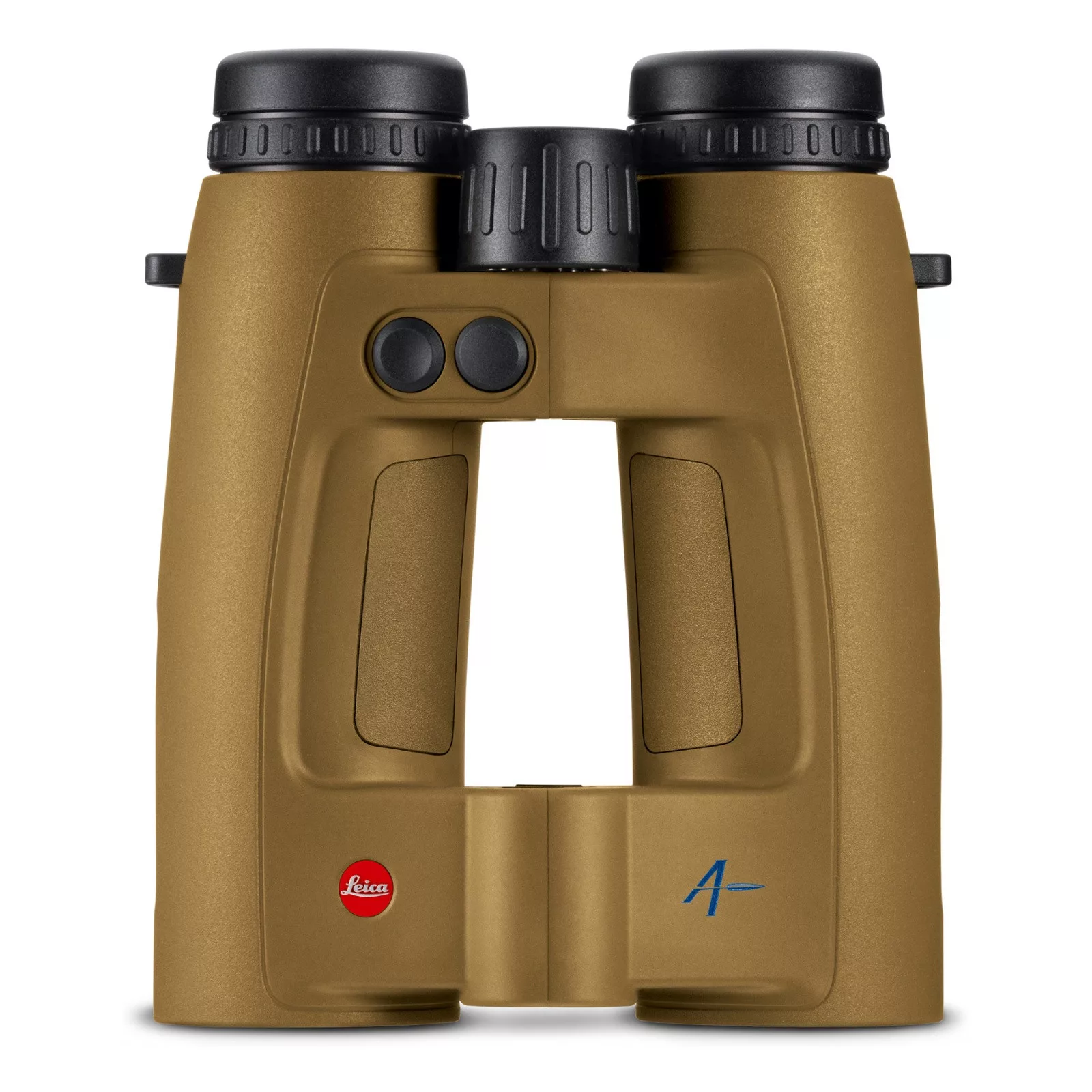
The individually configurable Active Matrix microLED display presents the essential information clearly in the field of view – from the measured value and shot correction to Shot Probability Analysis. In the distinctive Flat Dark Earth colour, the Geovid Max is instantly recognisable as the high-end model in the Geovid family. High-performance hunting binoculars for open terrain, demanding mountain hunts and precise shooting at long distances.
In bright sunlight, a measured value must be immediately and clearly legible. The exceptionally bright Active Matrix microLED display of the Geovid Max with 640 × 480 pixels enables a clear graphical presentation of all relevant measurement and ballistic data. Distance, shot correction, Shot Probability Analysis, wind data and compass information are displayed clearly and directly in the field of view. Additional symbols provide information including measuring and target mode, battery status, unit of measurement and Bluetooth® connection.
The display can be precisely tailored to personal requirements via the Leica Ballistics App. Users can individually define which information is shown and how it is arranged in the field of view. Elements that are not required can be hidden, keeping the view uncluttered and allowing full concentration on the respective hunting or shooting situation. This makes the essential values just as quick to read in bright sunlight as they are at dusk – without compromising the brilliant image quality of the hunting binoculars.
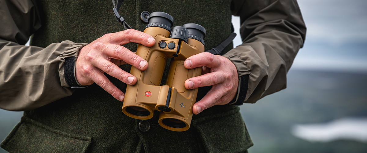
Shot Probability Analysis (SPA) calculates the expected hit probability and displays the result directly in the field of view as a percentage. Among other factors, it takes into account the measured distance, wind, target parameters, firearm accuracy and muzzle velocity.
At a glance, this shows how the actual conditions affect the expected performance of the firearm system being used. This objective assessment helps to better evaluate personal limits as well as the limits of the firearm, ammunition and external influences. It provides additional clarity for a fast and responsible shot decision.
With the Leica Geovid Max, the measured distance is immediately converted into a precise ballistic solution. The integrated Applied Ballistics Professional® software calculates elevation and windage correction values up to the maximum measuring range. Air pressure, temperature and inclination angle are automatically recorded by the integrated sensors and incorporated directly into the calculation.
Personal ballistic profiles can be conveniently created, managed and transferred to the hunting binoculars via the Leica Ballistics App. In addition to an extensive database of factory ammunition, custom loads can also be stored. For calculations that reflect real-world conditions as closely as possible, Applied Ballistics Professional® takes into account factors including Coriolis effect, Spin Drift, AB Custom Drag Models and Sight Scale Factor.
Depending on the preferred workflow, shot correction can be output as a click value, holdover or linear correction value. Windage correction is also available immediately. This keeps all essential data in view without interrupting the hunting or shooting situation for additional calculations.
The Leica Ballistics App is the central interface of the Leica Ecosystem. It can be used to manage personal ballistic profiles, individually configure the Active Matrix microLED display and remotely operate the Leica Geovid Max. Settings, environmental data and the active ballistic profile are synchronised in real time when connected.
Compatible Kestrel® devices and Garmin® watches add further information from the field. BaseMap® Pro enables automatic synchronisation of measured target points and position data. Leica ProTrack (LPT™) then guides the user precisely to the previously measured terrain point.
In this way, the Leica Ecosystem combines observation, rangefinding, ballistics, wind data and navigation in one seamless workflow. Fewer device changes and immediately available information leave more time for what matters: assessing the situation reliably and making an informed decision.
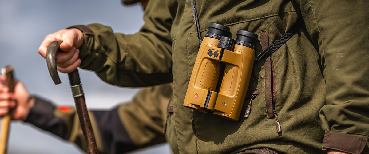
When game pauses only briefly or a favourable opportunity is about to close, speed is essential. In standard measuring mode, the highly precise laser measuring system of the Leica Geovid Max delivers an exact result up to 2,900 metres in just 0.3 seconds. The view remains on the game and the situation stays under control at all times.
For greater distances, Extended Mode increases the measuring range to up to 7,500 metres for retroreflective targets. In AUTO mode, the Geovid Max combines speed and maximum range in one intuitive process: it starts with the familiar fast standard measurement and automatically switches to Extended Mode when required. No additional operating steps are necessary.
The Geovid Max also provides exceptional performance reserves for hunting in open terrain or the mountains. Trees can be ranged up to 4,200 metres and game up to 2,650 metres. Whether on an opposite slope, at a distant forest edge or when determining prominent terrain points, the long range provides reliable orientation in unfamiliar terrain.
Not every animal stands unobstructed and clearly separated from its background. Branches, tall grass or objects in front of and behind the actual target can make measurement more difficult. With the “First”, “Best” and “Last” target modes, the measuring logic of the Leica Geovid Max can be specifically adapted to the situation.
“First” prioritises the nearest detected target and is particularly suitable for small or nearby target points in front of a more distant background. “Best” evaluates the strongest measuring signal and is ideal for unobstructed, clearly visible targets. “Last” prioritises the most distant measuring point, supporting rangefinding for game or terrain points that are partially obscured by branches, bushes or tall grass.
A previously measured terrain point must also be reliably located later – especially after the shot, in poor visibility or in confusing terrain. Leica ProTrack (LPT™) therefore combines the rangefinding capability of the Geovid Max with precise navigation to the measured point.
After measuring, three options are available: compass navigation within the Leica Ballistics App, setting a target marker in Google Maps, or automatic synchronisation of measurement data and target markers with BaseMap® Pro.
This allows the shot site to be precisely located and safely approached even as the light fades or in difficult terrain. Leica ProTrack supports orientation in the hunting ground as well as careful shot-site verification, recovery or tracking.
As the light fades, optical quality determines whether fine details remain reliably visible. The Leica 10x42 high-performance optics of the Geovid Max deliver a brilliant, high-contrast and colour-neutral image with high detail resolution. Combined with premium optical elements, the patented Perger-Porro prism system ensures excellent image plasticity, high edge-to-edge sharpness and 90 percent light transmission.
A specially tuned baffle system reduces distracting stray light and maintains high contrast even in difficult lighting conditions. The wide field of view of 114 metres at 1,000 metres makes it easier to locate game quickly and maintain an overview, while the 10x magnification enables reliable target identification even at longer distances.
The HDC® multicoating optimises light transmission and image quality. The dirt- and water-repellent AquaDura® coating protects the outer lenses and supports a clear view in rain, moisture and changing weather conditions.
For uphill or downhill shots, the direct distance to the target is not the only decisive factor. The integrated inclination sensor measures the angle and uses it to calculate the equivalent horizontal range, or EHR. This corresponds to the horizontal distance relevant to the bullet trajectory and therefore to the ballistic correction.
Equivalent horizontal range is available from 10 metres up to the maximum measuring range. Whether on a steep mountain slope, in hilly terrain or from an elevated stand, the Leica Geovid Max immediately provides the value that matters for ballistics. This allows the hunter to retain full control of the situation even at pronounced shooting angles.
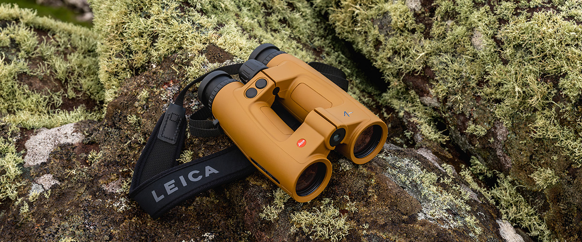
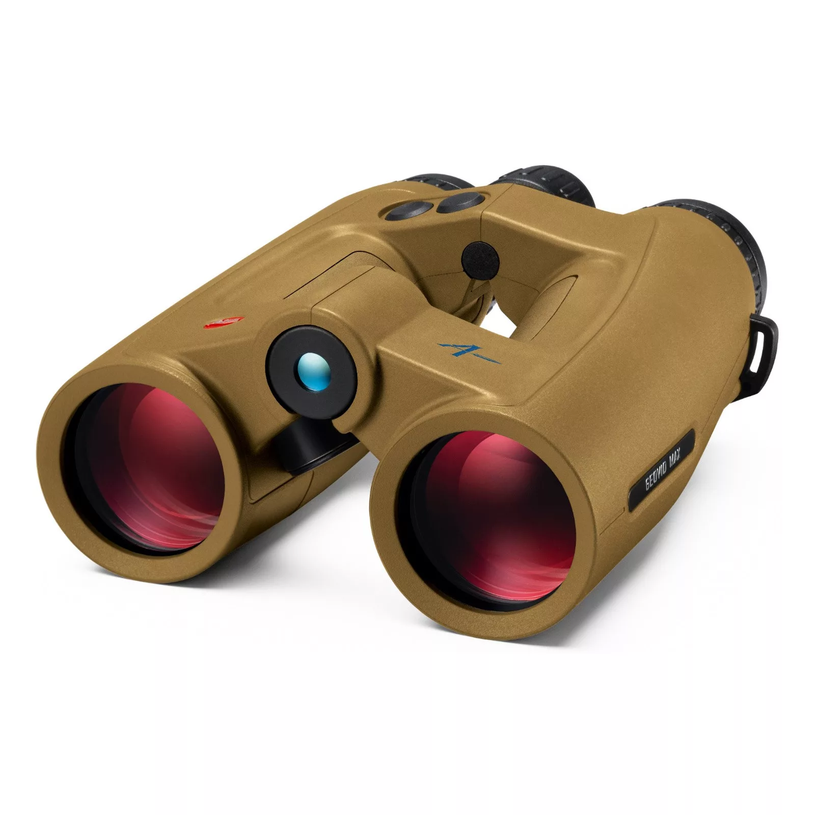
The nitrogen-filled magnesium housing and full rubber armouring combine high stability with a secure grip. The Leica Geovid Max is waterproof to a depth of five metres and designed for reliable use in rain, cold, dust and severe temperature fluctuations.
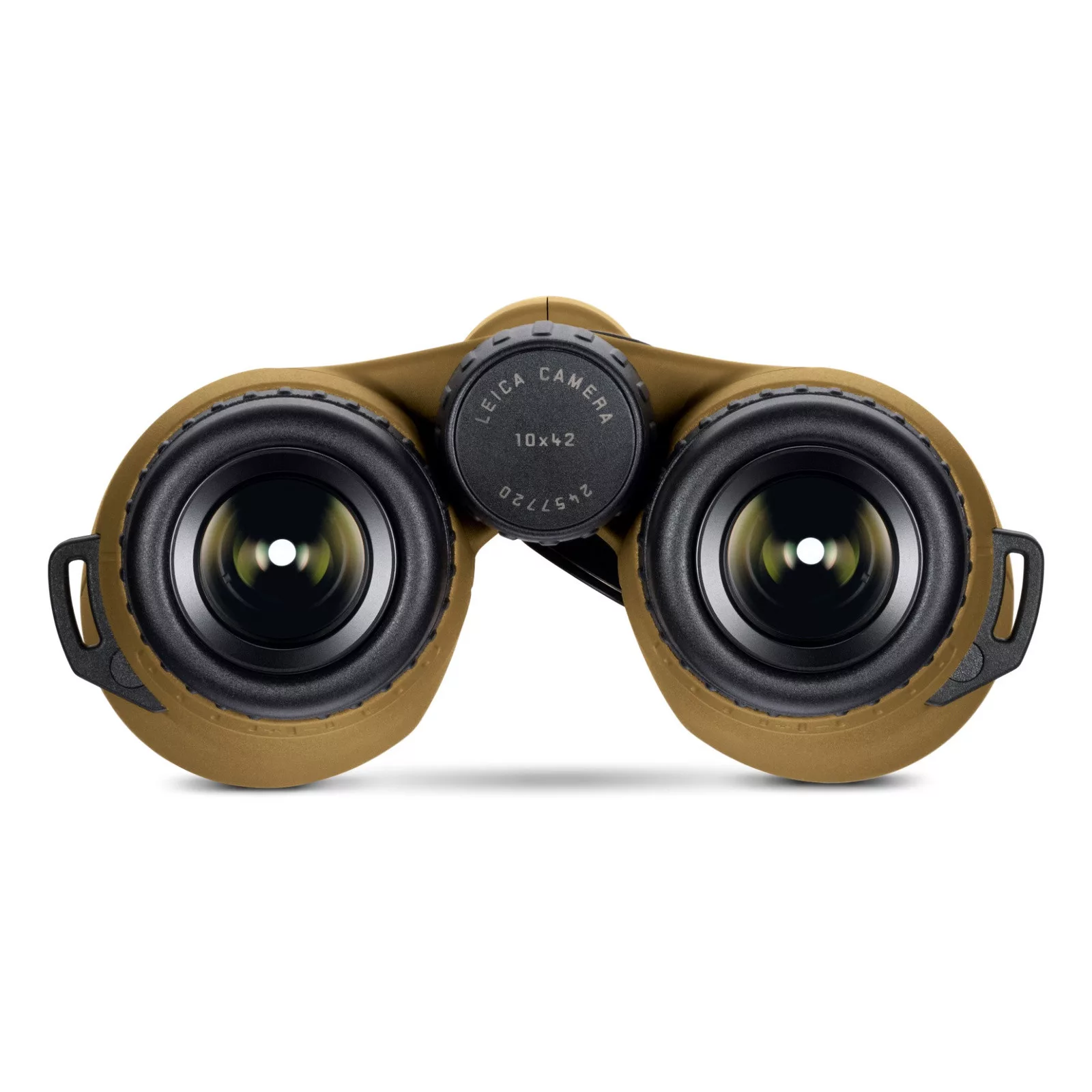
Four defined click-stop positions on the rotating eyecups enable precise adjustment with or without glasses. The optionally activated inclination-dependent standby function automatically switches the system on or off depending on its position. This makes the hunting binoculars ready to measure more quickly while using battery capacity particularly efficiently.
The Flat Dark Earth colour underlines the functional character of the Geovid Max and identifies it at first glance as the high-end model in the Leica Geovid family.
Hamarosan
magnesium frame
connect to Leica ballistics app ; use customized ballistic profiles; upgradeable to Applied Ballistics Elite; Basemap®; Kestrel® / Garmin® connection, GPS guide LPT (Leica ProTrack); built-in wind correction; Shot Probability Analysis; Baromatric pressure sensor; Temperature sensor and measurement; Compass
Contoured neoprene carrying strap, front lens cover, eyepiece caps, cordura case, battery
from 10m to 2925m
Accuracy: ± 0.5 m from 10 to 200 m, ± 1 m from 200 to 400 m, ± 0.5 % above 400 m